Character of the Region
Lehigh Valley Greenways Conservation Landscape covers a 726 square mile region in eastern Pennsylvania defined by the political boundaries of two counties, Lehigh and Northampton. The region includes 62 municipalities including three cities (Allentown, Bethlehem and Easton), 27 boroughs and 32 townships. With a population forecasted to reach over 750,000 by the year 2030 here in the third largest metropolitan area in the state, there is a growing urgency to preserve the natural resources, pastoral scenery, and recreational opportunities that Lehigh Valley residents value.
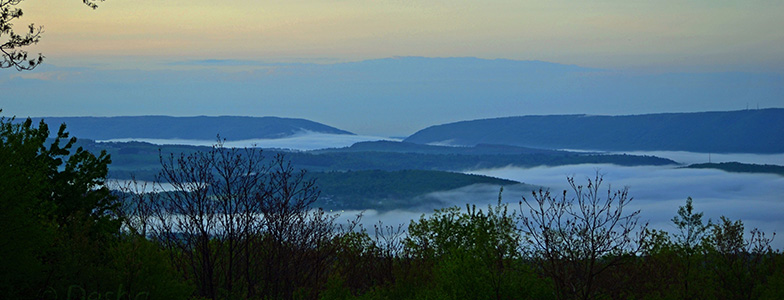
The region is bound by the Kittatinny Ridge, locally known as the Blue Mountain, to the north, the Delaware River to the east, the PA Highlands and South Mountain to the south, and rolling hills to the west divide the Lehigh River watershed from the Schuylkill River watershed. In between there is a web of streams, woodlands, trails, wetlands, and meadows that surround and connect the development.
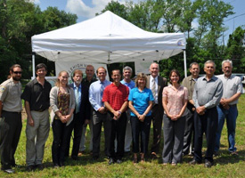
Lehigh Valley Greenways is unique from the other seven Conservation Landscapes in that it includes very little land owned by PA Department of Conservation & Natural Resources (DCNR), but at the heart of the region is Jacobsburg Environmental Education Center, a key community asset providing a state-of-the-art education center and 17 miles of trails crisscrossing the state park. In addition to Jacobsburg, two other LEED-certified nature centers have been developed with support from Lehigh Valley Greenways to provide close to home environmental education opportunities- Trexler Environmental Center and Lehigh Gap Nature Center.
This two-county region can be seen as an intricate fabric of interconnected threads. Each thread represents a resource and is woven together to create the composite community fabric that surrounds us. The fabric of the Lehigh Valley is made up of rivers and streams and the industry they supported, wooded ridgelines and fertile agricultural valleys, a rich historic and cultural heritage, and a diverse population that is increasing with each passing year.” Lehigh Valley Greenways Plan, LVPC, 2007
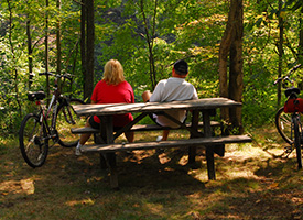
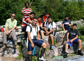
In 2013, Lehigh Valley Planning Commission completed the Lehigh Valley Trails Inventory documenting 333 miles of open land and water trails. The four longest trails with their Lehigh Valley mileage are 1) Appalachian Trail – 54 miles, 2) D&L Trail – 48 miles open/14 additional miles conceptual, 3) Lehigh River Water Trail – 36 miles and 4) Delaware River Water Trail – 35 miles. In addition to being the longest trails in the two counties, all four of the above trails also continue outside the Lehigh Valley (LVPC, 2013). Since forming in 2004, the Lehigh Valley Greenways partners have opened 50.5 miles of trail.
Learn more about the Lehigh Valley region from Lehigh Valley Planning Commission.